Home · The Thames
The river from west to east
Five reaches
- Reach 1Kew and the westUpstream, the river runs past Kew's botanic garden and a landscape of parks and towpaths, still tidal as far as Teddington Lock.
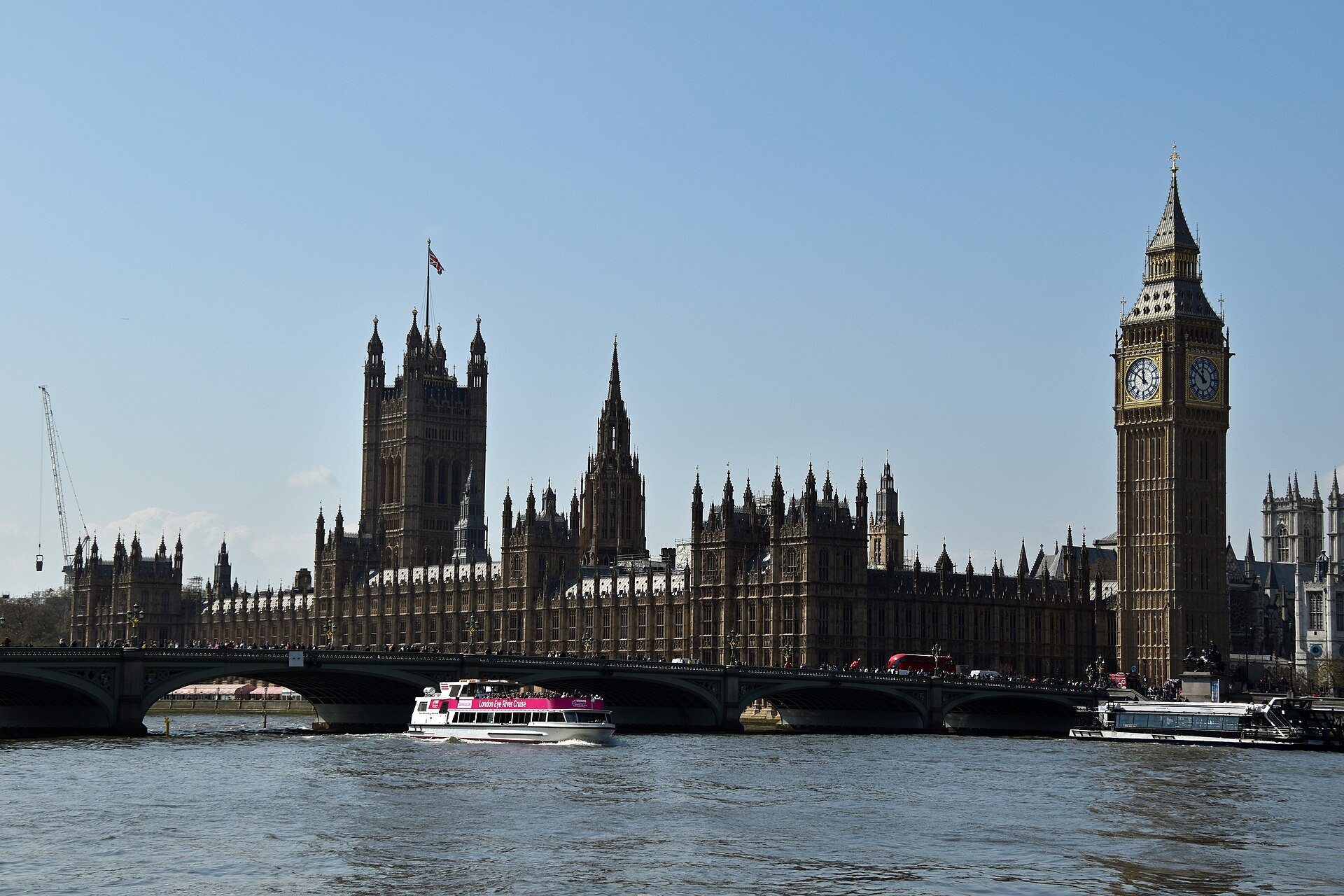
- Reach 2WestminsterThe Palace of Westminster and the London Eye face each other across the water, where the river bends toward the City.
- Reach 3The South Bank and BanksideA continuous pedestrian walk from the Eye to Tower Bridge, past Tate Modern, the Globe and Borough Market.
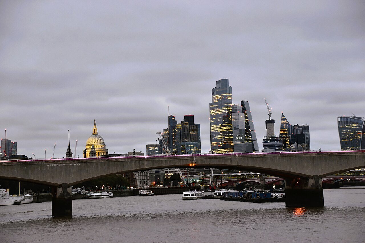
- Reach 4The City and the Pool of LondonSt Paul's stands behind the north bank, and below London Bridge the Pool of London was the old harbor, now Tower Bridge and the Tower.
- Reach 5Greenwich and the Thames BarrierDownstream, Greenwich holds the Prime Meridian and the Cutty Sark, and the Barrier guards London against tidal surges.
The Thames
In full
A river that goes both ways
The Thames is 215 miles long, the longest river entirely in England, and it rises in Gloucestershire and flows east to the North Sea. Through London it is no ordinary river. The lower reaches are called the Tideway, the section that rises and falls with the tides, and its tidal reach runs up to Teddington Lock, west of Kew. Across most of its London stretch the water level rises and falls by about 23 feet between low and high tide.
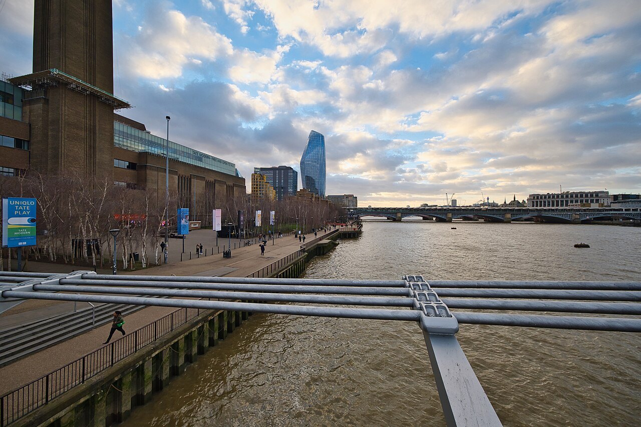
That surprises visitors. At low tide the river retreats from the walls and exposes the foreshore, with gravel and mud that mudlarks search for lost objects, while at high tide it fills the channel to the brim. The tide also decides when boats can pass some points and when the Thames Barrier is raised, so the river's moods are as much a part of the city's rhythm as the weather.
Why London is here
London stands where the river was narrow enough to bridge and wide enough to bring ships. The Romans founded Londinium at the point where the lowest bridge could be built, and for almost two thousand years the London Bridge was the only crossing. The name Thames is very old, from a Brittonic word that may have meant dark.
Ships brought goods to the wharves of the Pool of London, the stretch from London Bridge downstream to Limehouse where tall-masted vessels unloaded. The Pool was the first part of the Port of London, and the City's customs officers inspected cargoes at the Legal Quays on its north bank. Warehouses lined both sides, and some of them are now flats and galleries.
The bridges
London's bridges are a guide to its history. The oldest crossing site is London Bridge, and downstream Tower Bridge is the most famous, with its raising spans. Westminster Bridge faces the Palace of Westminster, and the Millennium Bridge, a steel pedestrian bridge that opened in 2000, links Bankside to the City, with a clear view of St Paul's framed by its supports.
The Millennium Bridge was nicknamed the Wobbly Bridge, because pedestrians felt it sway on its opening day. It was closed for almost two years while engineers fixed it, and it reopened in 2002. Walking across it is one of the best short walks in the city.
The river walk
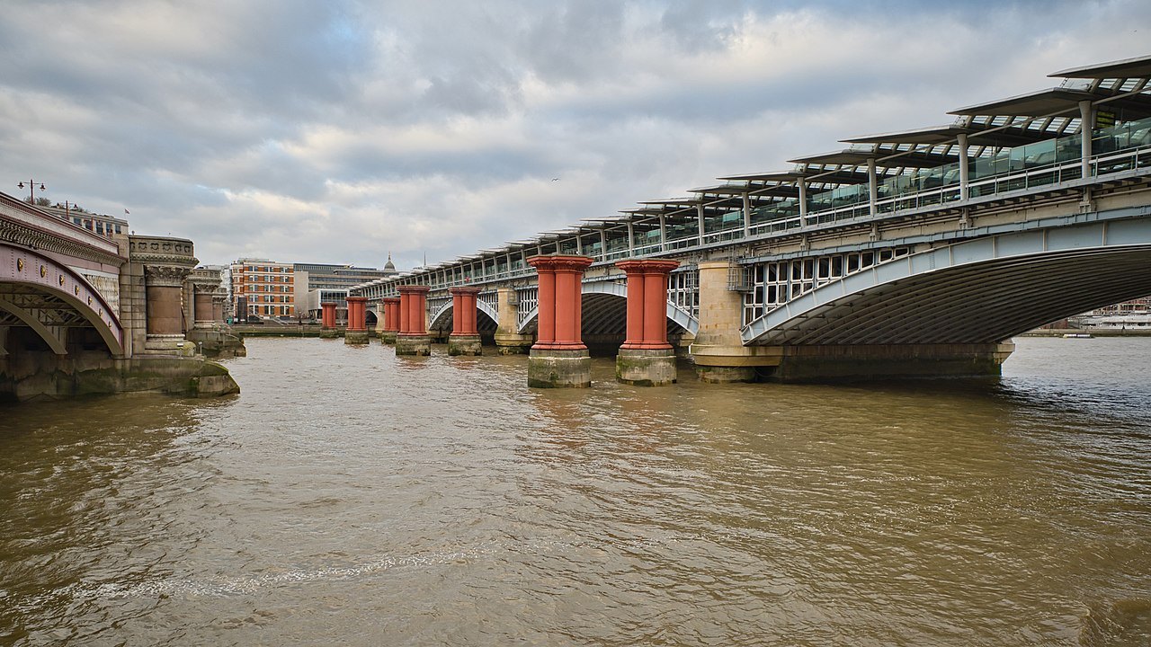
The best way to understand the river is to walk it. The south bank path runs from the London Eye past Tate Modern and Shakespeare's Globe to Borough Market and on to Tower Bridge, about three miles in all, flat and mostly traffic-free. The north bank has stretches of embankment and the long walk past the Tower.
The river is also the setting for several of the sights, including the Palace of Westminster, which was built with a long river front to be seen from the water, and the Tower of London, which guarded the approach to the City. The Shard stands above the south bank near London Bridge.
On the water
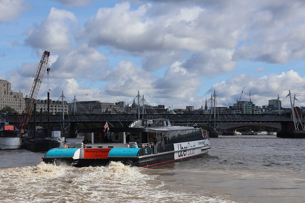
Boats run along the river in several forms. Commuter river services link the piers at Westminster, the London Eye, Blackfriars, the Tower and Greenwich, and sightseeing cruises offer a commentary on the sights. Services go upstream to Kew and Richmond as well. The trip from Westminster to Greenwich passes the whole historic river in about an hour.
For details of how to ticket and use the services, see Getting Around. The boat is the best way to reach Greenwich and Kew Gardens, and the view from the water of the south bank and the City skyline is not available from anywhere else.
The Thames Barrier
Flooding has been a threat to London since Roman times, and the great North Sea flood of 1953 led to a committee that proposed a barrier across the river. The Thames Barrier, built about two miles east of the Isle of Dogs, has been operating since 1982. Its steel gates can be raised during high tide to protect most of Greater London from exceptional tides and storm surges moving up from the North Sea.
At other times the gates rest in the riverbed, so ships can pass. Closures are most likely when a deep depression to the north of Scotland pushes a surge down the North Sea and the tide is already high. The silver shells of its piers are a landmark at the Greenwich end of the river, and a visitor centre explains how it works.
Reading the tide
A glance at the river tells you the state of the tide. At high water the surface is close to the top of the embankment walls, and boats drift lazily upstream; at low water the foreshore appears and the current runs hard downstream. Tide tables are published for the Tideway, and the Port of London Authority posts them for the main piers.
The tidal rhythm affects what you can do. A river bus may run slightly differently at the extremes, the Thames Path at Greenwich and some beaches are only walkable at low tide, and exploring the foreshore needs a permit in several stretches. Look for the steps and stairs that descend the embankment walls, some of them centuries old, which show where the old public landings stood.
Rowers, sailors and paddle-boarders share the river with the passenger boats, and the annual boat race between the university crews is rowed on the Tideway between Putney and Mortlake each spring, and it draws crowds to both banks.
Greenwich and beyond
Downstream, the Thames reaches Greenwich, where the Cutty Sark stands in dry dock and the Old Royal Naval College faces the river. Beyond the Barrier the river widens toward the estuary, passing Docklands and the Royal Docks. The Isle of Dogs bend gives some of the best views of Canary Wharf and the Greenwich peninsula.
On the opposite end, upstream beyond Kew, the river becomes a country waterway with locks and weirs. The Thames has some 45 locks along its length and more than 80 islands, and its tributaries include the Lea, the Wandle and the buried Tyburn. The tidal river is also cleaner than it was a century ago, and salmon, seals and seahorses have all been recorded in it.