Home · Getting Around
Eight ways to move
Once you are here
UndergroundThe Underground
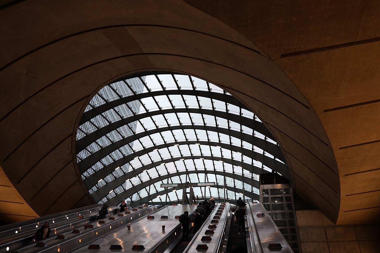
The Tube opened in 1863 as the world's first underground railway. It has 11 lines and 272 stations, and it is the quickest way across the center.
By railThe Elizabeth line, Overground and DLR
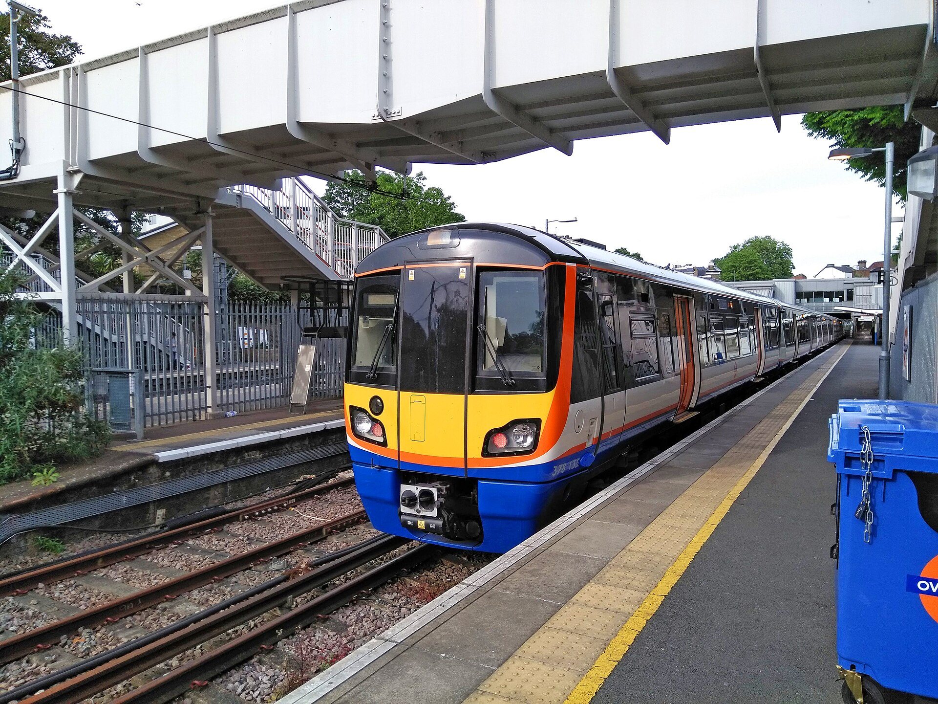
Three more rail services run under Transport for London: the Elizabeth line through the center, the Overground around it and the driverless Docklands Light Railway in the east.
By busBuses
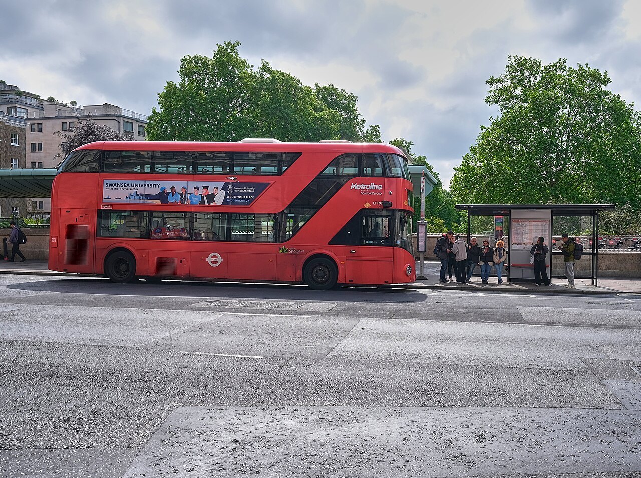
London's red buses cover the whole city, and they take no cash; you tap a contactless card or an Oyster card.
On the waterRiver services
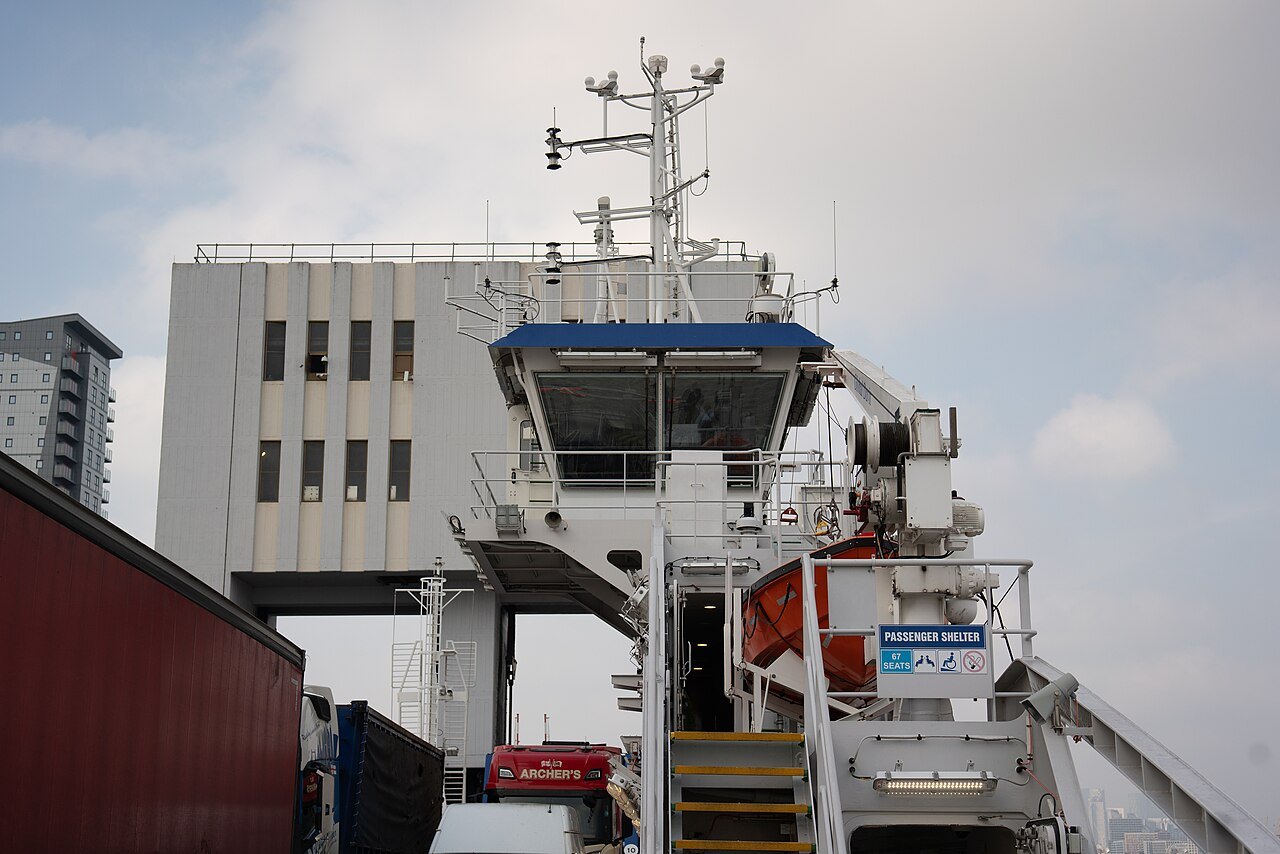
Passenger boats run along the Thames between Westminster, the Tower and Greenwich, and further upstream to Kew.
Across the riverThe cable car
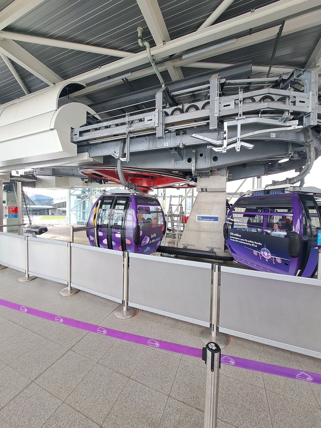
A cable car crosses the river in the east, from the Greenwich peninsula to the Royal Docks.
By cabBlack cabs
London's black cabs can be hailed in the street, and their drivers learn the city on a test called the Knowledge.
On footOn foot
The sights are closer than the map suggests, and the river walk links many of them.
By bicycleCycle hire
A public cycle-hire scheme has docking stations across the center, and a network of protected lanes.
Getting Around
In full
Pay with a card, not a ticket
The simplest way to pay for transport in London is a contactless bank card or a phone. You touch it on the yellow reader at the start of a journey and, on the Underground and trains, again at the end, and the system works out the fare and caps the total for the day. Contactless payment was introduced on the network in 2014, a first for a major system.
The alternative is the Oyster card, a blue stored-value card introduced in 2003. It works on the Underground, buses, the Docklands Light Railway, the Overground and most train services inside London's fare zones, and some river boats. London buses have taken no cash since 2014, so a card of some kind is essential.
The Underground
The London Underground, known as the Tube, opened in 1863 between Paddington and Farringdon, the first underground passenger railway in the world. It now has 11 lines and 272 stations, and it carries more than a billion journeys a year. Only about 45 percent of the network is actually underground, and most of the surface track lies north of the Thames.
The Tube map, designed by Harry Beck in 1931, is a diagram, not a geographic plan, so distances on it can mislead. Stations that look far apart may be a five-minute walk, and the shortest journey in the network, between Covent Garden and Leicester Square, is only 300 yards. Walk when two stations are close, and use the Tube for the long hops.
The Elizabeth line, Overground and DLR
The Elizabeth line, which opened in 2022, is a fast railway that runs through the center from Heathrow and Reading in the west to Shenfield and Abbey Wood in the east. It is not part of the Underground, though Transport for London runs it, and its stations at Paddington, Bond Street, Tottenham Court Road, Farringdon, Liverpool Street and Whitechapel are among the busiest.
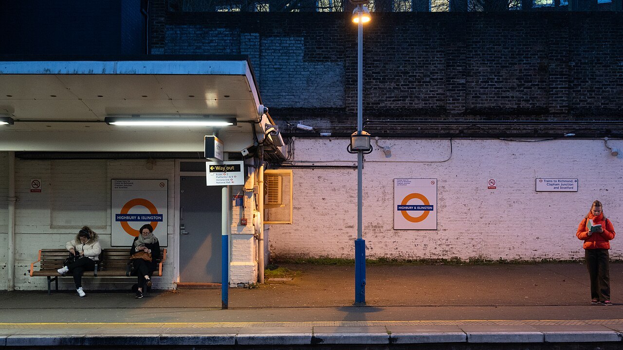
The Overground is a set of orbital and suburban rail lines that go around the center, useful for reaching places outside the Tube map, and the Docklands Light Railway is an automated light metro in the east, which serves Canary Wharf, City Airport and Greenwich. Tramlink serves the south.
Buses
London's red buses cover the whole city, and they are cheaper than the Tube and show you the streets. Routes run through Trafalgar Square, Whitehall and the Strand, and several pass close to the sights. Many buses run through the night. You board at the front, tap in, and do not tap out, and the stops announce the next stop on a screen.
A top-deck seat at the front gives a sightseeing tour for the price of a bus fare, but buses are slow in heavy traffic and not the best choice when you are in a hurry.
On the river
Passenger boats on the Thames link Westminster, the London Eye, Blackfriars, the Tower and Greenwich, and further upstream the river runs to Kew and Richmond. The boats are run by a mix of operators, and some accept the Oyster card or contactless payment. They are slower than the Underground, but they pass the sights from the water, and the trip to Greenwich is a sight in itself. The Thames explains what each stretch shows.
In the east, the cable car crosses the river from the Greenwich peninsula to the Royal Docks, giving a view of the Docklands skyline and the river bend.
Taxis, bikes and walking
London's black cabs can be hailed in the street when the yellow light is lit, or taken from a rank. The drivers have passed the Knowledge, a test of London's streets that takes years. Cabs are convenient with luggage or at night but cost more than other options, and app-based cars are also widespread.
Cycle hire is available through a public scheme with docking points across the center, and protected cycle lanes now run along several main roads, though traffic still demands care. Walking is the best way to link the sights: the river path from Westminster to the Tower is flat and runs past many of the best places, and the sights within each cluster, set out in The Sights, are close together.
Zones and fares in plain terms
The rail network is divided into fare zones, numbered from 1 at the center outward, and the fare depends on the zones you cross and the time of day. Nearly all the sights in this guide lie in zone 1, apart from Greenwich, Kew and Heathrow. A journey that stays inside zone 1 costs the same wherever you start and finish, and the daily cap means that the more you travel, the less each journey costs, up to a limit.
Peak and off-peak fares differ, with the morning and evening rush costing more, so traveling to the sights between the peaks is cheaper as well as calmer. The Transport for London website shows fares for any journey, and the same fare applies to a contactless card and an Oyster card. A card must be the same one at the start and the end of a journey, or the system will charge a maximum fare.
Step-free and with children
Many Underground stations have steps and no lift, and the older deep stations can involve long staircases and escalators. The Tube map marks the step-free stations, and the Elizabeth line, the Docklands Light Railway and most of the Overground are step-free throughout. Buses have ramps, and a wheelchair space is reserved on every bus.
With a pushchair, the bus is the easiest option, and a folded pushchair is fine on the Tube. Children under a certain age travel free on most services when accompanied by an adult, and the rules are set out on the Transport for London site, which also has a journey planner with a step-free setting.
A few habits that help
On escalators, stand on the right and let people pass on the left. At peak hours, trains are crowded and stations can be closed for safety, so allow extra time and have a second route in mind. Travel outside the morning and evening rush if you can.
Always check the Transport for London journey planner before you set out, because engineering works on weekends and at night can close lines. From the airports, the options are described in Getting Here.
More photographs
Seen on the way
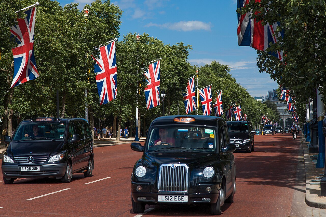
Black cabs driving along the Mall, between rows of Union flagsGrand Parc - Bordeaux, France from France, Wikimedia Commons, CC BY 2.0 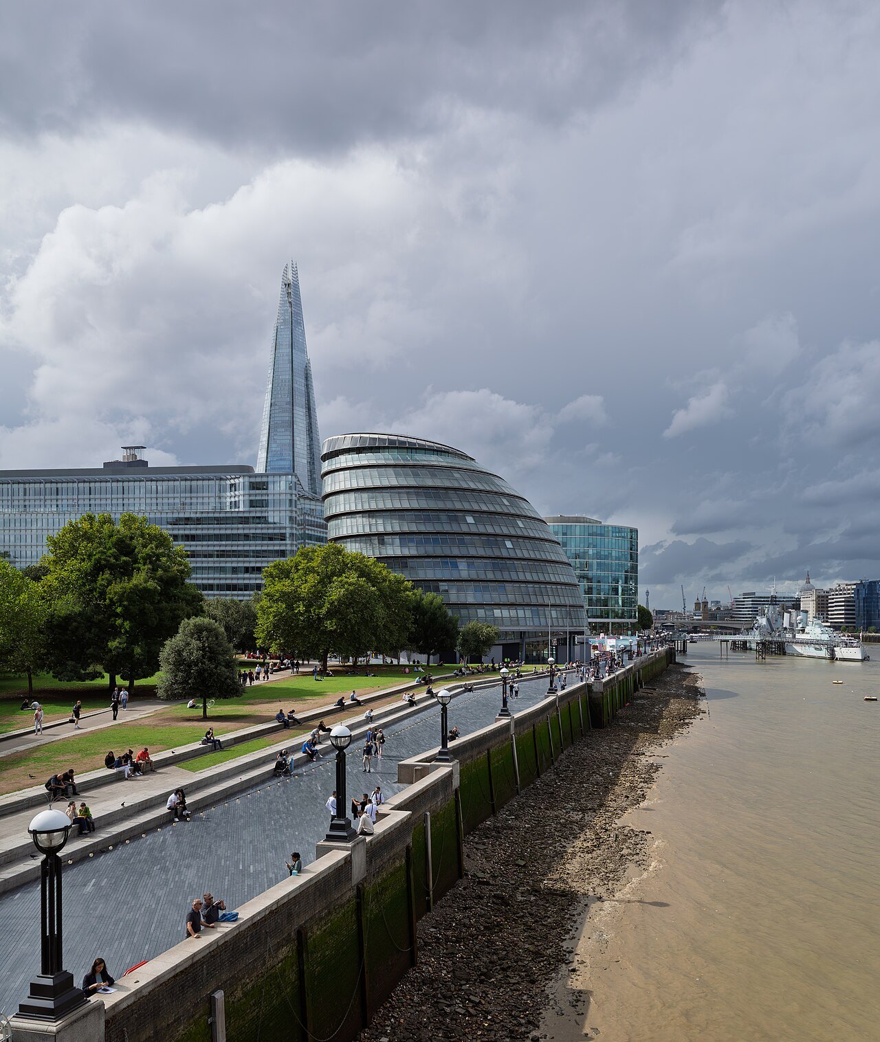
The river path along the Queen's Walk, with the Shard and City Hall in the distanceJules Verne Times Two, Wikimedia Commons, CC BY-SA 4.0 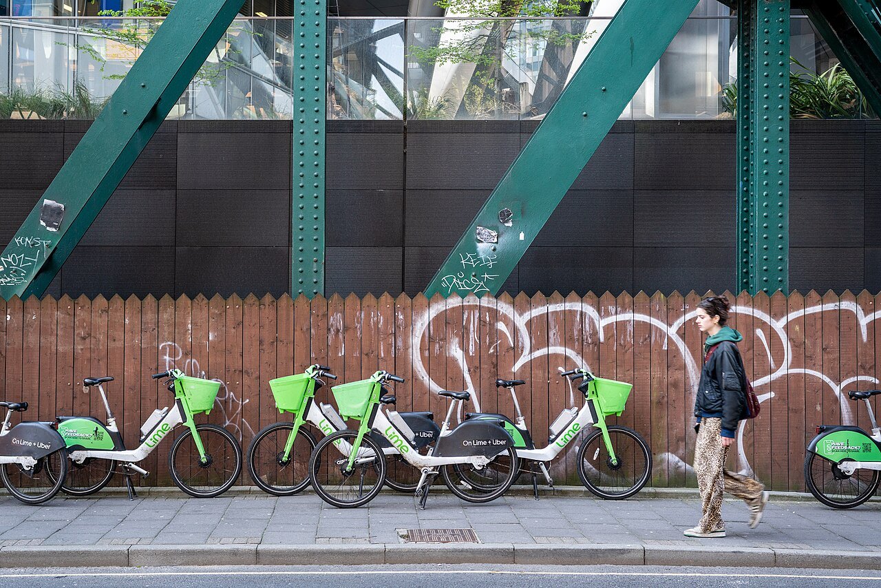
A row of hire bicycles parked on a pavement beside a wooden fence covered in graffitiKeith Page, Wikimedia Commons, CC BY-SA 2.0