What is the Prime Meridian, and why is it at Greenwich?
ZERO DEGREES · THE ROYAL OBSERVATORY AND THE LINE OF LONGITUDE
The Prime Meridian is the line of zero degrees longitude, and it passes through the Royal Observatory at Greenwich. How an astronomer's line became the world's, the 1884 conference, what the brass line shows, and what has replaced it.
Read on
The answer in full
A line that is a choice
A prime meridian is a line of longitude at which longitude is defined to be zero. Unlike the equator, which is fixed by the way the Earth spins, the prime meridian is arbitrary: any line from pole to pole could serve, and many places have claimed the honour. Paris, Berlin and Copenhagen each used their own, and in the eighteenth century most countries in Europe kept a meridian through their capital.
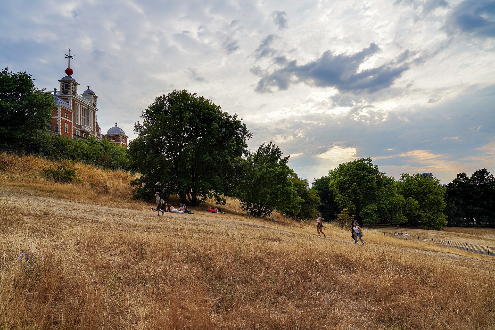
The line that won passes through the Royal Observatory at Greenwich, in south-east London. That is why the observatory's courtyard has a brass strip in the ground that visitors straddle, with a foot in each hemisphere, and why Greenwich Mean Time carries the name of a London suburb.
Why an observatory
The Royal Observatory was commissioned in 1675 by Charles II, with the site chosen by Sir Christopher Wren, and the king created the post of Astronomer Royal. The first holder was John Flamsteed, who was told to apply himself to the tables of the stars so that sailors could find their longitude at sea. The building was completed in 1676.
Finding longitude was the great navigational problem of the age. A ship's captain could find latitude by the sun and stars, but to know longitude he needed to know the time at a fixed place, and a pendulum clock would not keep it on a rolling ship. The Longitude Act of 1714 set up a board to reward a solution, and the Astronomer Royal sat on it.
How Greenwich became the standard
The influential step was the Nautical Almanac. From 1765 the Astronomer Royal Nevil Maskelyne published tables based on the Greenwich meridian, and navigators who used them measured their position from that line. Even French translations kept Maskelyne's calculations from Greenwich, despite the fact that France preferred the Paris meridian. By habit, Greenwich became the universal reference point for sailors.
The position of the historic line was fixed in 1851 by Sir George Airy, the Astronomer Royal, who had a telescope called the Airy Transit Circle installed at Greenwich. The line was defined by the position of that instrument, and it is the line that runs through the observatory today.
The conference of 1884
In October 1884 an International Meridian Conference met in Washington, DC. Delegates from twenty-five nations voted to adopt the Greenwich meridian as the common zero of longitude and the standard for reckoning time. The French argued for a neutral line, mentioning the Azores and the Bering Strait, and in the end abstained, and they kept the Paris meridian in use until 1911.
By then most of the world's shipping already used Greenwich charts, so the vote ratified what sailors had been doing for a century. The decision made the observatory the center of the world's map and time zones, and it explains why Greenwich Mean Time became the basis for time around the world.
Greenwich Mean Time
Greenwich Mean Time is the mean solar time at the observatory, counted from the start of the civil day. The word mean refers to an average: because of the shape of the Earth's orbit and the tilt of its axis, the sun is rarely exactly overhead at midday, and mean time is the annual average. The daily time signals from the observatory began in 1833, when a time ball was dropped on the roof, and hourly time signals, the pips, were broadcast on radio from 1924.
GMT is the name used for the time zone of the United Kingdom in winter, and English speakers often use it as a synonym for Coordinated Universal Time, which is what keeps the world's clocks in step today.
What replaced it
The modern international standard is the IERS Reference Meridian, which is derived from the Greenwich meridian but differs slightly. Since 1973 measurements have used lunar laser ranging, satellites and radio astronomy instead of telescopes, and the new line lies a little east of the brass strip at the observatory. GPS users who stand on the line will find their devices say they are a short walk away.
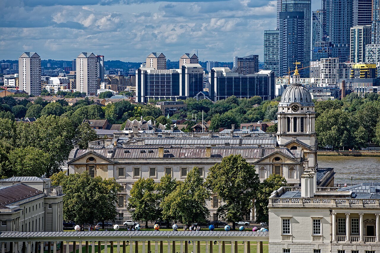
The historical line remains the one that visitors come to see, and it remains the line on the ground. Whatever the satellites say, the strip in the courtyard marks the line that sailors, mapmakers and astronomers once agreed to share.
Standing on the line
In the courtyard of the observatory a strip of brass is set into the paving, marking the meridian, and visitors queue to have a photograph taken with one foot on each side. The line runs on through the building, where the Airy Transit Circle, the instrument that defined it, can be seen in its room. At night, a green laser beam shines north across London along the line.
The line leaves the observatory and runs across Greenwich Park and over the river, and it is marked in several places by plaques and metal strips in the ground. A short walk along the Thames path takes you across it again, and other markers stand in the countries it passes through, from France to Ghana and Antarctica.
Why not Paris
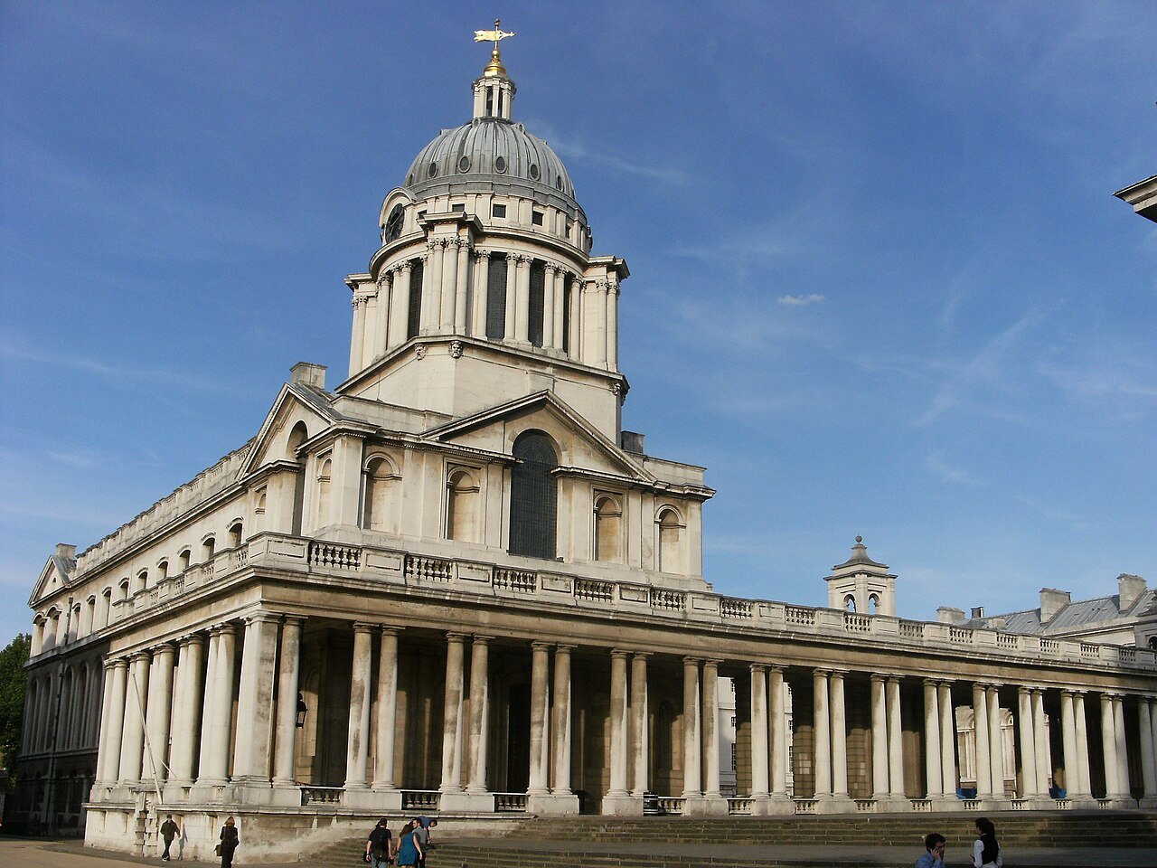
France argued for a neutral line in 1884 and kept its own, the Paris meridian, in official use until 1911. The Paris line runs through the Paris Observatory and is marked across the city by a series of brass medallions set in the pavement. The two lines differ by a little over two degrees of longitude.
The contest between the two was a contest between national navigational traditions, and Greenwich won because it had the largest merchant fleet and the best charts, not because of any quality of the place itself. In that sense, the prime meridian is a monument to the age of sail.
Visiting
The observatory stands on the hill of Greenwich Park, with views over the river, and it is described fully on the Greenwich page. The park is one of the Royal Parks, described in The Parks. You reach Greenwich by river boat, rail or the Docklands Light Railway, as set out in Getting Around.
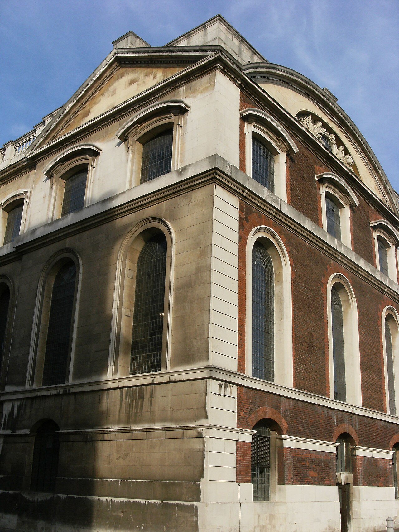
Tickets are needed for the main observatory galleries, and the courtyard line can be queued for in busy periods. The time ball on the roof drops once a day, and the brass line is a short walk from the park gate.
More from the journal
Read next
- The Palace of Westminster and Big BenIs Big Ben the bell or the tower?Big Ben is the nickname of the Great Bell, and by extension of the clock tower that holds it. What the tower is really called, how the clock and bells work, why the tower leans, and what the light at the top means.Read the piece →
- Tower BridgeHow do you tell Tower Bridge from London Bridge and the Tower of London?The Tower of London is a fortress, Tower Bridge is the Victorian bridge with two towers beside it, and London Bridge is a plain bridge half a mile upstream. How to tell them apart, and the story of the American who bought the wrong bridge.Read the piece →
- Getting HereHow do you get from Heathrow to central London?Heathrow is 14 miles west of central London and has three rail routes into the city, plus coaches, buses and taxis. What each one is, where it stops, which terminal station to use, and how to choose.Read the piece →